Kevin Struck, Community Development Educator
The Town of Holland, working with Kevin over a 6-month period, adopted an update to its Comprehensive Plan on February 10th. The update contains a wealth of data and information the Town will use for guidance when creating policies and making decisions. The Future Land Use Map, for example, will provide direction when rezoning requests come before the Plan Commission and Town Board.
Throughout the process, Kevin did research and then in an open meeting format presented and explained findings and issues to Town officials, who then discussed the ramifications to the Town. Later, recommendations to address the most important issues were formulated and edited until officials were satisfied.
Noteworthy items in the update include the following:
- Future population growth is likely to be slowed by the decrease in families and household sizes. The amount of Americans aged 18-34 who are single—
now 51%—is the highest percentage since at least the 1980s. - The percentage of residents 75 years of age or older increased by 48% between 1980 and 2010.
- As of 2017, property values overall in the Town still had not recovered to their pre-Recession peak.
- Although the Town has some general obligation debt, the amount per capita of $152 is far lower than the average of $215 for all other towns in the state.
- The Town contains many ephemeral ponds, which are important for invertebrates and amphibians because these temporary ponds generally lack predator fish.
- The Town should consider the adoption of an agritourism zoning district to respond to the growing trend of wedding barns, harvest festivals, farm-to-table dining venues, and so forth.
- The Town should support a voluntary well water testing program in the near future to assess water quality within the Town.
- Educational signage at the Town’s Recycling Center could encourage the proper handling of invasive plant materials to help prevent the inadvertent spreading of invasive species.
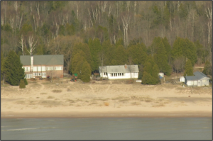
Most of this beach has disappeared due to high lake levels.
Photo: Wisconsin Shoreline Inventory and Oblique Viewer, 2007


