How Many Pole Buildings Are Too Many?

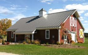
Accessory buildings in a residential zoning district are buildings like a detached garage or a pole building that are secondary to the house, which is considered the main building on the lot. In the last few years the perception is growing in a few places that accessory buildings on some residential lots, especially in suburban […]

Who would I talk to about what we can fill an abandoned cistern with?

Kevin has continued to receive questions on a wide variety of local issues. Here is a recent question from a local village president, some interesting background information, and the answer to the question. Q: Who would I talk to about what we can fill an abandoned cistern with? Background: Cisterns are small underground reservoirs for […]

ANALYSIS of FARMLAND PRESERVATION ZONING in TOWN OF SHERMAN

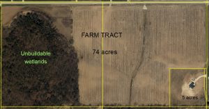
Kevin Struck, Community Development Educator From 2013 – 2015, Kevin worked with Town of Sherman officials to create a custom farmland preservation zoning ordinance. Since the strategies within this new ordinance had not been tried before, the state agency that oversees farmland preservation certification and tax credits for local farmers approved it with a contingency […]

THE FUTURE OF THE WALDO POND AND DAM

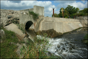
At the request of the Waldo Pond Improvement Association, Inc., Kevin has begun updating the pond management plan he drafted in 2016. The Waldo Mill Pond is classified as an impoundment, which is an artificially created lake or reservoir usually characterized by stream inflow and always by a stream outlet. In this case, the inflow […]

Revisiting Past Questions About Local Zoning

Kevin Struck, Community Development Educator Several town and village clerks have resigned or retired in the past year in the County, and since clerks often also play the role of the local zoning administrator, a lot of the “training” Kevin has done over the past few years in these particular communities has left the building. […]

Town Zoning Maps

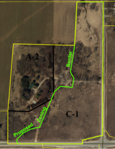
Most of the town zoning maps in Sheboygan County were drawn in the early 1980s before the appearance of computerized mapping and detailed data sets like digital aerial photography, wetland boundaries, topographic elevation contours, and so forth were available as computerized overlays in a geographic information system (GIS). As a result, when a property contained […]

Sheboygan County Maps and Apps

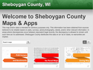
Kevin Struck, Community Development Educator Sheboygan County has a robust online land records site with 17 GIS maps and applications (apps) to assist citizens with a variety of land related inquiries, including determining acreages, legal descriptions, assessed values, and zoning, to name a few. The ability to go online to quickly get answers to these […]

Support Extension